
Johnson County is under a Winter Weather Advisory until 6 p.m. Tuesday, Jan. 9, as issued by the National Weather Service, and another winter storm could possibly be just around the corner.
The advisory covers portions of east central Kansas and central and west central Missouri. Snow began Monday afternoon, Jan. 8, earlier than originally expected, and is forecast to continue through Tuesday. According to the NWS, snow accumulations of up to 4 inches are expected, with winds gusting as high as 45 mph.
According to Monday’s hazardous weather outlook for northwest, north central and west central Missouri and extreme eastern Kansas, another winter system will affect portions of the region late Thursday, Jan. 11 through Friday, Jan. 12. Bitterly cold temperatures move into the area this weekend and into next week.
On Monday afternoon, the Johnson County Emergency Management Agency issued an alert advising residents to avoid traveling if possible. At 2 p.m., JCEMA reported road conditions were worsening and there had been an increase in accidents and slide-offs. For those who must drive, they can check road conditions at traveler.modot.org.
MoDOT’s traveler map showed U.S. Highway 50 was covered from far west Johnson County to just outside of Jefferson City around 3 p.m. Monday. Interstate 70 was covered from Concordia to just east of Columbia. Many other smaller highways in west central Missouri were also covered.
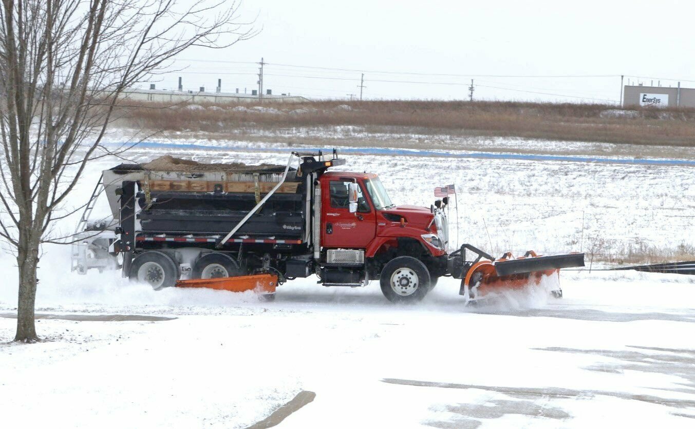
Information about the City of Warrensburg’s Emergency Snow Plan, Emergency Snow Route, and Snow Route Map can be found at warrensburg-mo.com/240/Snowy-Weather.
According to the city’s website, the Public Works Department’s primary objective during winter storms is to “keep thoroughfares open and safe for the motoring public. Thoroughfares are part of the emergency snow route system. When a snow emergency is declared, priority will be given to emergency snow routes. Additional priority will also be given to streets adjacent to schools, bus routes, police, fire, and rescue stations, and steep graded hills and sharp curves. Residential streets will receive service after thoroughfares, snow routes, and priority locations have been cleared.”
According to the NWS, in Warrensburg, the rain and snow mix was expected to continue until 3 a.m. Tuesday, followed by snow after 4 a.m.
On Tuesday, rain and snow is expected to turn into all snow after 10 a.m., with patchy blowing snow after 11 a.m. Winds will be breezy in the morning, increasing to 20 to 25 mph in the afternoon with wind gusts as high as 41 mph. Chance of precipitation is 90%. Temperatures will see a high near 34 and a low around 18.
The NWS states that blowing snow on Tuesday could reduce visibilities to a half-mile at times in some locations. Blowing snow should end between 3 and 6 p.m. for Johnson and Pettis counties.
Things should clear up Wednesday, Jan. 10 with a mostly sunny forecast, although there is a 20% chance for rain and snow before 9 p.m. and a 20% chance of rain between 9 p.m. and midnight. Slight winds will continue, with speeds around 8 to 17 mph and wind gusts as high as 26 mph. The high will be near 41 with a low around 23.
Thursday will start partly sunny, but the day will end with a 50% chance of rain and snow before midnight. The high will be near 37 with a low around 18.
Snow is likely again Friday with a 60% chance of snow during the day and a 30% chance in the evening before midnight. Temperatures will drop dramatically, with a high near 26 and a low around 7.
The weekend will mark the end of precipitation in the forecast. Saturday, Jan. 13 and Sunday, Jan. 14 are both expected to be partly sunny, although it will be bitterly cold, with highs in the mid-teens and a low around 1.
An extended weather look from the NWS shows a 70-80% chance of below-normal temperatures the week of Jan. 13-19. High temperatures will be in the single digits and teens Saturday through at least Monday, Jan. 15, with low temperatures in the single digits to teens below zero. On Saturday evening, wind chill values could reach -5 to -15.


